
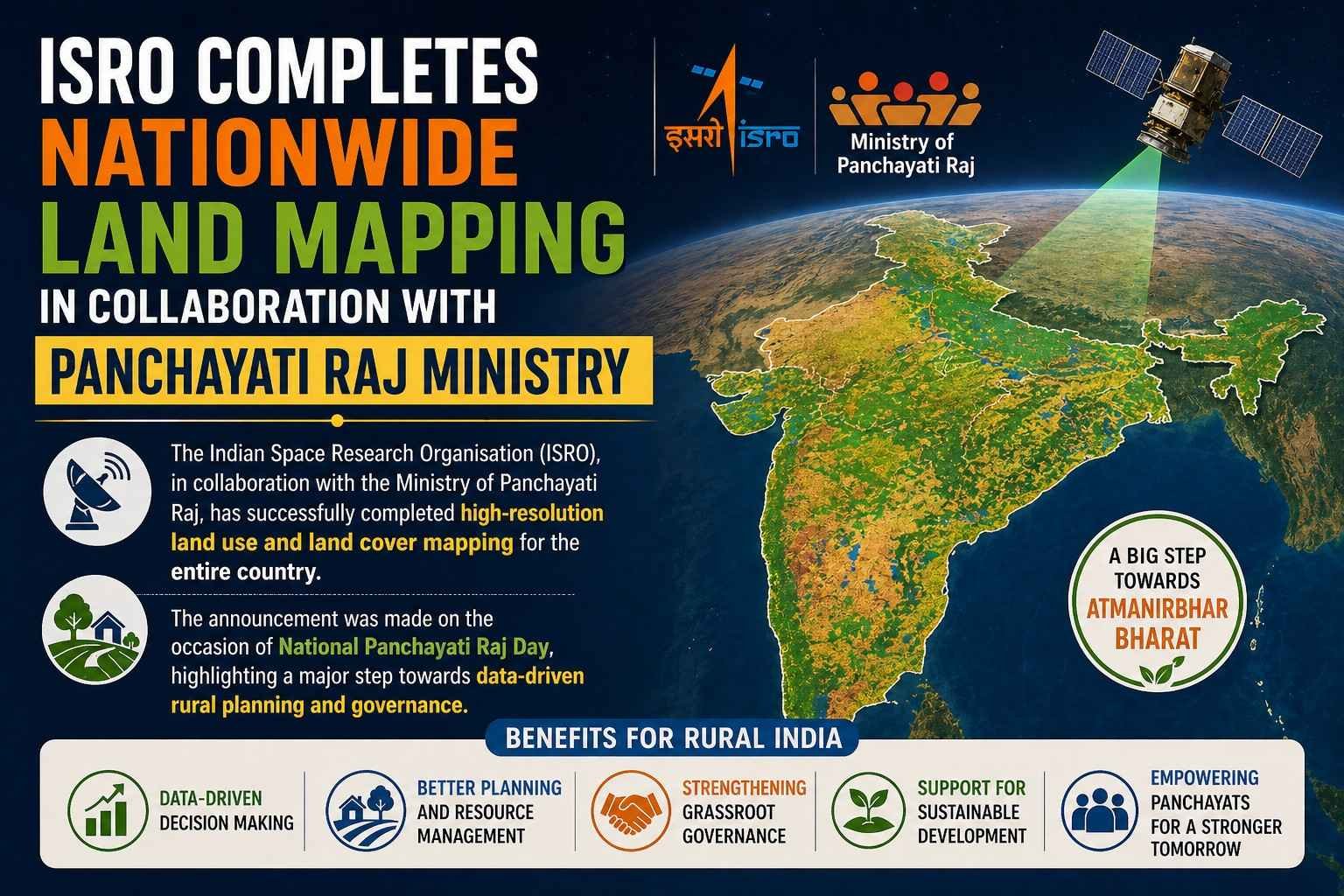
The Indian Space Research Organisation (ISRO), in collaboration with the Ministry of Panchayati Raj, has successfully completed high-resolution land use and land cover mapping for the entire country.
The announcement was made on the occasion of National Panchayati Raj Day, highlighting a major step towards data-driven rural planning and governance.
Key Highlights of the Mapping Project
- Scale of Mapping: 1:10,000 (high-resolution)
- Coverage: Entire country
- Data Type: Land Use and Land Cover (LULC)
- Accessibility: Shared with various government organisations
This detailed dataset provides accurate insights into how land is being used across India, including agriculture, forests, water bodies, and urban areas.
Integration with Grammanchitra Portal
The mapping data has been integrated into the Grammanchitra portal, a digital platform developed by the Panchayati Raj Ministry.
Benefits of Integration:
- Helps prepare Gram Panchayat Development Plans (GPDPs)
- Enables evidence-based decision making
- Strengthens grassroots governance
- Improves planning for:
- Infrastructure
- Agriculture
- Resource management
Role of ISRO in Governance
ISRO’s geospatial capabilities are increasingly being used beyond space exploration, contributing to:
- Rural development
- Disaster management
- Urban planning
- Environmental monitoring
This initiative demonstrates how space technology can directly benefit local governance systems.
Why This Initiative is Important
- Promotes decentralised planning
- Empowers Gram Panchayats with accurate data
- Enhances transparency and efficiency in governance
- Supports India’s push towards Digital Governance
Conclusion
The collaboration between ISRO and the Ministry of Panchayati Raj marks a significant milestone in leveraging space technology for rural development. By providing high-resolution land mapping data, the initiative enables smarter planning at the grassroots level, ultimately contributing to more effective and inclusive governance across India.