

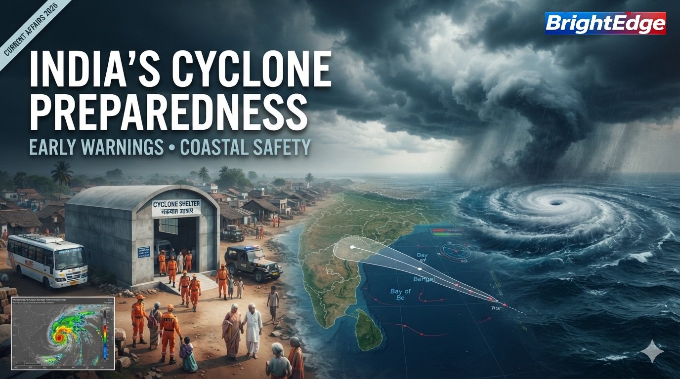
Cyclone preparedness in India is an essential component of disaster risk reduction, particularly for communities living along the country’s vulnerable coastline. Tropical cyclones can cause destructive winds, storm surges, coastal flooding, heavy rainfall and damage to critical infrastructure. Effective preparedness requires accurate weather forecasting, timely evacuation, resilient infrastructure and coordination between government agencies and local communities.
Recent cyclone-related developments have renewed attention on India’s disaster-management capabilities. India is strengthening its early-warning systems, coastal protection infrastructure and emergency-response mechanisms to reduce the loss of human life and property during extreme weather events.
On October 12, 2026, the India Meteorological Department (IMD) dedicated an interactive Cyclone Warning and Marine Weather Services Decision Support System to the nation. The platform brings together information about cyclone tracks, intensity, wind distribution, rainfall and storm-surge risks, helping authorities and the public better understand potential hazards.
What Is Cyclone Preparedness?
- Cyclone preparedness refers to the measures taken before, during and after a tropical cyclone to minimise casualties, protect property and ensure a faster recovery.
- It includes weather monitoring, public warnings, evacuation planning, emergency shelters, disaster-response teams, medical facilities and restoration of essential services.
- India’s cyclone-management approach combines scientific forecasting with administrative coordination and community participation.
Major Components of Cyclone Preparedness
- Early-warning systems: Detect developing cyclones and communicate potential hazards.
- Evacuation planning: Move people away from vulnerable coastal and low-lying areas.
- Cyclone shelters: Provide safer accommodation during severe weather.
- Emergency response: Deploy rescue teams, medical personnel and relief supplies.
- Coastal protection: Strengthen vulnerable infrastructure and conserve natural coastal barriers.
- Public awareness: Educate communities about warnings, evacuation routes and emergency supplies.
- Recovery planning: Restore electricity, drinking water, roads, communications and livelihoods after a disaster.
Why Is India Vulnerable to Cyclones?
India has an extensive coastline bordering the Arabian Sea, the Bay of Bengal and the Indian Ocean. Tropical cyclones originating over these waters can threaten coastal settlements, ports, fishing communities, agricultural areas and major economic centres.
The Bay of Bengal has historically experienced numerous destructive cyclones. Coastal geography, population density, low-lying terrain and exposure to storm surges can increase the severity of their impacts.
Cyclones may cause several interconnected hazards:
- Destructive winds that damage houses, power lines and communication infrastructure.
- Storm surges that push seawater inland and inundate coastal settlements.
- Heavy rainfall that triggers river flooding and urban waterlogging.
- Landslides in vulnerable hilly areas affected by intense rainfall.
- Disruption of fisheries, agriculture, transportation and industrial activity.
- Contamination of drinking-water sources and interruptions to healthcare services.
Effective disaster management therefore requires preparation for multiple hazards rather than focusing exclusively on wind speed.
Role of the India Meteorological Department in Cyclone Preparedness
- The India Meteorological Department is India’s national meteorological agency and plays a central role in cyclone monitoring and forecasting.
- The IMD monitors atmospheric and oceanic conditions, analyses developing weather systems and issues warnings concerning tropical cyclones and associated hazards.
- Its work helps government authorities, fishermen, shipping operators, disaster-management agencies and coastal communities make timely decisions.
Major Functions of the IMD
1. Cyclone monitoring
The IMD tracks developing low-pressure systems over the North Indian Ocean and monitors changes in their intensity and movement.
2. Track forecasting
Meteorologists estimate the likely direction and path of a cyclone, including its potential approach towards the coast.
3. Intensity forecasting
The IMD assesses whether a weather system is likely to intensify or weaken.
4. Rainfall and wind warnings
Forecasts communicate the possibility of heavy rainfall, strong winds and other hazardous weather conditions.
5. Storm-surge information
Storm-surge assessments help identify coastal areas that may face dangerous seawater inundation.
6. Communication with authorities
The IMD shares warnings with relevant government departments and disaster-management agencies to support preparedness and response.
India’s Cyclone Warning and Marine Weather Decision Support System
On October 12, 2026, the IMD dedicated an interactive, WebGIS-based Cyclone Warning and Marine Weather Services Decision Support System to the nation.
The platform integrates several categories of weather and hazard information, including:
- Observed and forecast cyclone tracks.
- Cyclone intensity and wind distribution.
- District-wise rainfall warnings.
- Storm-surge information.
- Rainfall forecasts for river catchments.
- Interactive visualisations to support decision-making.
The system aims to make technical weather information more useful for government authorities and the public.
Four Stages of India’s Cyclone Warning System
India follows a four-stage cyclone-warning procedure. The exact timing and content of operational bulletins depend on the weather system and the applicable IMD procedures.
| Warning stage | Typical advance notice | Purpose |
|---|---|---|
| Stage 1: Pre-Cyclone Watch | Around 72 hours | Provides early information about a developing cyclonic disturbance and its potential intensification. |
| Stage 2: Cyclone Alert | Around 48 hours | Communicates the expected threat, likely movement and areas that may be affected. |
| Stage 3: Cyclone Warning | Around 24 hours | Provides more specific information about likely coastal impacts, including landfall forecasts where available. |
| Stage 4: Post-Landfall Outlook | Around 12 hours | Communicates expected impacts after landfall and the likely movement of the system inland. |
Role of the National Disaster Response Force
The National Disaster Response Force (NDRF) is a specialised force responsible for responding to disasters and emergencies.
During cyclones, NDRF teams may be deployed to vulnerable areas to assist with evacuation, search and rescue, removal of debris and other emergency operations.
Major Responsibilities
- Conducting rescue operations in affected areas.
- Supporting the evacuation of vulnerable populations.
- Assisting people trapped by flooding or structural damage.
- Helping remove obstacles and debris when required.
- Supporting emergency-response operations alongside state agencies.
- Participating in disaster-preparedness exercises and community awareness activities.
The NDRF works with state disaster-response forces, local authorities, police, fire services, the armed forces and other agencies as required.
Important distinction: The IMD provides meteorological forecasts and warnings, while the NDRF specialises in disaster response. These functions complement each other but are not interchangeable.
Role of the National Disaster Management Authority
The National Disaster Management Authority (NDMA) provides national-level policy direction and guidance for disaster management in India.
The Disaster Management Act, 2005 provides the legal and institutional framework for disaster management.
NDMA’s broader approach includes prevention, mitigation, preparedness, response and recovery.
In cyclone-prone areas, disaster-management planning can include:
- Hazard mapping and vulnerability assessments.
- Guidelines for safer construction.
- Public awareness and training.
- Planning for emergency shelters and evacuation routes.
- Coordination among national, state and district authorities.
- Measures to improve disaster resilience.
Disaster management is a shared administrative effort. State governments and district authorities have important operational responsibilities, while the Union Government provides support and coordination where required.
National Cyclone Risk Mitigation Project
The National Cyclone Risk Mitigation Project (NCRMP) was designed to reduce cyclone-related risks in vulnerable coastal states through infrastructure development, early-warning dissemination and capacity building.
The project included components relating to:
- Early Warning Dissemination Systems.
- Cyclone-risk mitigation infrastructure.
- Technical assistance and disaster-management capacity building.
- Project management and monitoring.
Infrastructure supported under cyclone-risk mitigation initiatives can include multipurpose cyclone shelters, evacuation roads, bridges, saline embankments and improvements to communication systems.
The project illustrates an important shift from a relief-focused approach towards reducing disaster risk before a cyclone strikes.
How Cyclone Shelters Protect Coastal Communities
- Cyclone shelters provide safer locations for people who must evacuate vulnerable homes and settlements during severe weather.
- They are especially important in coastal areas where houses may be unable to withstand destructive winds, flooding or storm surges.
- Effective shelter planning involves more than constructing buildings. Authorities must also consider accessibility, evacuation routes, water supply, sanitation, emergency medical support and arrangements for children, older people and persons with disabilities.
- Community participation is essential because even a well-equipped shelter cannot protect people who do not receive warnings or cannot reach it safely.
Coastal Ecosystems and Natural Protection
Natural ecosystems can contribute to coastal resilience when they are healthy and appropriately managed.
Mangroves
Mangrove forests can reduce wave energy and help stabilise shorelines under suitable local conditions. Their protective effectiveness depends on forest structure, width, coastal geography and storm characteristics.
Coastal wetlands
Wetlands can store water and support ecological functions that contribute to resilience in some coastal landscapes.
Sand dunes
Healthy dunes can act as natural barriers against coastal erosion and some forms of wave inundation.
Coastal vegetation
Appropriate vegetation and ecosystem restoration can support soil stability and help reduce erosion.
However, natural barriers cannot eliminate cyclone risk. Ecosystem protection must complement early warnings, evacuation, resilient buildings and emergency planning.
Cyclone Safety Measures: What Should People Do?
Preparedness at the household level can save lives.
Before a cyclone
- Follow official forecasts and warnings.
- Keep drinking water, essential medicines, dry food, a torch and batteries ready.
- Charge mobile phones and power banks.
- Secure loose outdoor objects and repair vulnerable parts of the house where safe.
- Identify the nearest designated cyclone shelter and evacuation route.
- Keep important documents in waterproof packaging.
- Follow official instructions concerning evacuation and fishing activities.
During a cyclone
- Remain in a designated safe location or cyclone shelter.
- Stay away from windows and exposed areas.
- Avoid flooded roads and coastal locations.
- Do not go outside during a temporary lull unless authorities confirm that conditions are safe.
- Follow official announcements and emergency instructions.
- Never touch fallen power lines or electrical equipment in flooded areas.
After a cyclone
- Return home only when authorities declare the area safe.
- Avoid damaged buildings, unstable trees and fallen electrical wires.
- Use safe drinking water and follow public-health advisories.
- Report hazards to local authorities.
- Follow official instructions before reconnecting electrical equipment.
- Cooperate with relief and recovery operations.
In India, the IMD and relevant state and district authorities should be the primary sources of official cyclone warnings and local evacuation instructions.
Technology and the Future of Cyclone Preparedness
Technology is improving the ability to monitor cyclones and communicate their potential impacts.
Important developments include:
- Satellite observations: Help meteorologists monitor cloud systems and weather patterns over the ocean.
- Doppler weather radars: Provide observations of precipitation and wind patterns in areas covered by radar.
- Numerical weather prediction: Uses mathematical models to estimate the future state of the atmosphere.
- Geographic Information Systems (GIS): Help authorities map hazards, vulnerable settlements and evacuation routes.
- Mobile alerts and emergency communications: Help distribute warnings to the public.
- Decision-support platforms: Integrate forecast information with maps and other data to help authorities make operational decisions.
India’s Cyclone Warning and Marine Weather Services Decision Support System is a recent example of efforts to make cyclone information more accessible and actionable.
Nevertheless, technology works best when forecasts are communicated clearly, authorities act promptly and communities trust and follow official guidance.
Cyclone Preparedness and Climate Change
- Climate change is an important consideration in long-term coastal disaster planning.
- Rising sea levels can increase the baseline from which storm surges affect coastal areas. Changes in ocean and atmospheric conditions can also influence cyclone-related hazards.
- However, the relationship between climate change and tropical cyclones is complex. Changes in frequency, intensity, rainfall and regional patterns are not identical everywhere.
- Effective planning should therefore use scientific assessments, local vulnerability data, updated infrastructure standards and reliable warning systems rather than assuming that every cyclone trend will move in the same direction.
Click Here to Read: How Are Cyclones Named? Criteria, Rules and Example